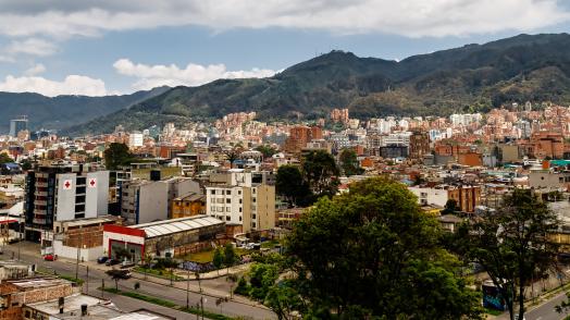
Applications: Recent applications include Belize (P177987), Mauretania(P179558), Moldova (P178831), Peru (P163255) and Colombia (P180534)
Data requirement: Global data with option (strongly recommended) to incorporate local data to improve model precision
Final deliverables: A GIS layer containing all relevant data, complemented by a csv data set and a summary of key findings either in written or slide deck form
Geographic scope: National, subnational, facility level
Hazards covered: Multiple hazards
Indicative Cost / working time: $20k
Methodology peer-reviewed, cleared (date)?: Yes - peer reviewed, published 02/24
Time Required for delivery: 2-3 weeks
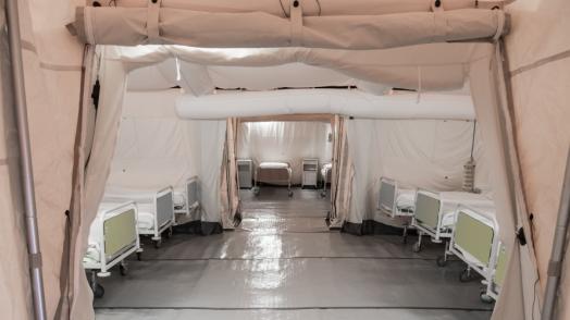
By combining population or health facility data with hazard data, granular estimates for exposure and vulnerabilities can be created. This can be done for various different natural hazards, such as earthquakes, flooding, landslides, mass movements, extreme temperatures (both hot and cold), precipitation, and wildfires. Detailed exposure maps can help policy makers and operational teams to target identify where people or the health system is most likely to experience disaster impacts and surge demands after a natural disaster. This information is vital to create more resilient health systems and for health system planning.