Applications: The roadmaps were develped in over a dozen countries (see https://geowb.maps.arcgis.com/apps/MapTour/index.html?appid=6859a74949064f33a808f564980ef738)
Data requirement: Desk review + focused interviews (NMHS, Regional Centers, etc.)
Final deliverables: A roadmap document outlining the current gaps and challenges in Hydromet services, strategies for improvement, implementation plans, and recommendations for strengthening early warning systems.
Geographic scope: National
Hazards covered: Hydrometeorological
Indicative Cost / working time: $100k-150k
Time Required for delivery: 6-8 months
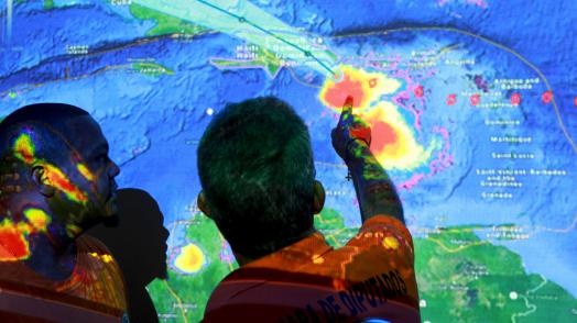
The roadmap identifies gaps and challenges in the production and delivery of weather, climate and hydrological information and services, and proposes a strategy for strengthening national hydrological and meteorological (Hydromet) and early warning systems.