Applications: High-level understanding of a region’s demographic and socioeconomic contexts, urban-rural linkages, hazard exposure, and climate risks
Data requirement: Global data with option to include local data.
Final deliverables: A slide deck that provides a rapid geospatial assessment of regional socioeconomic and environmental contexts of cities, as well as the critical resilience challenges that the regions face. It includes maps, data visualizations, statistics, and insights that integrate both built and natural environment features.
Geographic scope: Regional
Hazards covered: Floods, sea level rise, coastal erosion, heat, air pollution, landslide, drought, and extreme weather events
Indicative Cost / working time: $500 - $9k
Time Required for delivery: 2-3 weeks
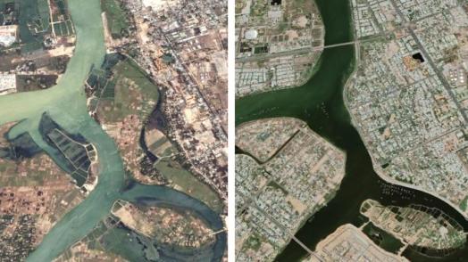
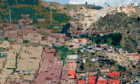
The Urban Regional Analysis situates cities in the context of the subnational region they are located in and sheds light on the regional dynamics. The analysis includes regional environmental conditions, urban-rural economic linkages, sociodemographic trends, critical infrastructure distribution, hazard exposure, and climate change. Using global datasets, this analysis paints a high-level picture of the regional context and can be flexibly customized to various project needs.