Applications: Produced for 167 cities so far, across 70 countries. For example, City Scans for four cities in Uzbekistan were used in conversations with client counterparts on a Project identification mission to select cities, neighborhoods, and sectors for investment.
Data requirement: Global data with option to incorporate local data
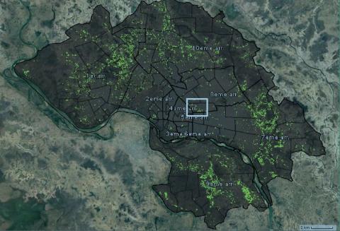
Final deliverables: An interactive web platform or slide deck that provides a rapid geospatial assessment of critical resilience challenges cities face. It includes maps, data visualizations, statistics, and insights that integrate both built and natural environment features.
Geographic scope: City-level
Hazards covered: Floods, landslides, seismic, air pollution, urban heat, sea level rise, coastal erosion, drought, wildfire
Indicative Cost / working time: $500 - $7k
Time Required for delivery: 2-3 weeks
A City Scan is a rapid geospatial assessment of the critical resilience challenges that cities face using the best publicly available global datasets and open-source tools. The output is a package of maps, data visualizations and insights that integrate features of both the built and natural environments. This City Scan is intended to support operational teams in building dialogue around a city’s most pressing resilience challenges. It is designed as a conversation starter rather than a specific decision-making tool. Thinking spatially about how urbanization affects the resilience of various urban forces, networks, and people helps equip officials to develop risk informed investment proposals, identify opportunities and barriers to unlocking private capital, and prioritize and coordinate future investments.
