Applications: Extensively used across multiple cities under CPL, GAP fund and upon request of other doners to utilize models. Used to inform urban analytics in Indonesia, Maldives and Mongolia, Cambodia and Kosovo
Data requirement: Local data combined with open source data.
Final deliverables: Report on optimal investment locations identification for financing prioritization.
Geographic scope: City
Hazards covered: Yes
Indicative Cost / working time: $20-$50 K
Methodology peer-reviewed, cleared (date)?: Yes, as part of other ASAs in which it has been applied.
Time required for delivery: 1 month (depending on data availability). This tool has been successfully internalized by local and national government in Indonesia. Training of WB staff and TTLs ongoing.
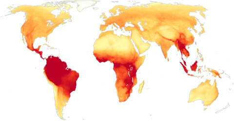
SuitAbility, a web application developed by City Planning Labs (CPL) & CAPSUS, helps identify optimal investment locations for implementing specific policies or projects within a city. By displaying heat maps of access to urban services and infrastructure, it aids in detecting disaster-prone areas, reducing risk, and strengthening resilience. Tool supports national urban planning agencies and city governments in performing land suitability assessments to plan for infrastructure and service deficits at both city and local levels. Ultimately, SuitAbility enables inter-departmental coordination, consensus-building, and a strategic planning approach.
Learn more here. Capacity building materials are available upon request. You can also explore the tool here.