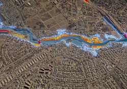
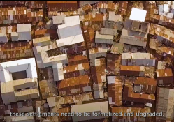
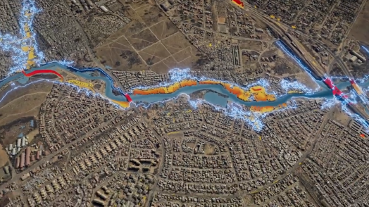
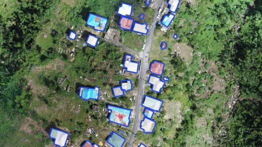
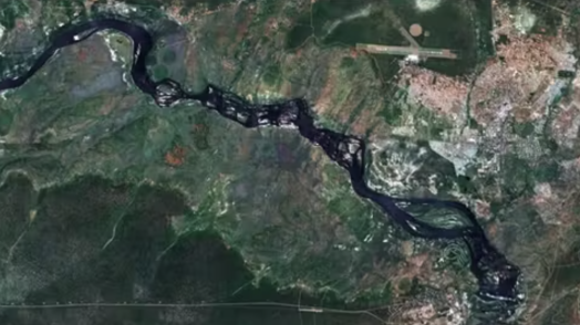
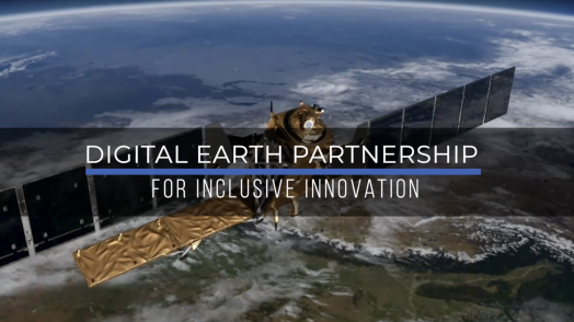
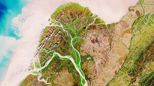
The Digital Earth Partnership aims to enhance the resilience of vulnerable countries and communities to climate change and natural hazard disasters through greater access to and adoption of frontier earth observation tools & services.
This will be achieved by developing and transferring global knowledge, mobilizing key partnerships, and providing operational support to client-executed and Bank activities in the production and use of earth observation for resilience.
The initial key partner of Digital Earth is the European Space Agency (ESA) through a cooperation framework linked to the ESA Global Development Assistance (GDA) program.
Climate resilient development is especially reliant on stakeholders' abilities to use accurate and timely information about our changing climate, environment and livelihoods, for risk aware insights and risk reduction actions. Through knowledge building and partnership development, Digital Earth will focus on providing demand driven data services for spatial monitoring, decision support, and risk management activities prompted by client governments and their beneficiaries: activities that are locally appropriate, affordable, actionable, scalable, and sustainable.
GFDRR established a decade of leadership and experience from GFDRR Innovation Labs and Open Data for Resilience Initiative with convening power in both public and private entities around innovative approaches to data collection, particularly in the realm of geospatial technology (Open Cities, ThinkHazard, Risk Data Library, Geonode). Digital Earth will continue to promote this broader view of the Digital Earth ecosystem while also scaling up its partnership with the ESA to access state-of-the-art satellite and image analysis services to monitor and digitize the changing earth. The focus of this thematic area will be to ensure local participation and capacity building and develop local risk information services that are demand-centered and have the opportunity to scale.
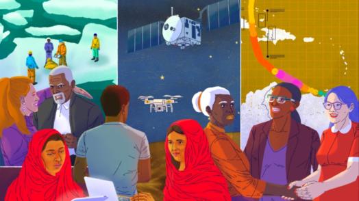
As the revolution in sensing technologies, machine learning capabilities and software analytics advances, stakeholders also seek support in addressing potential unintended harms of a digital transition. Standards and guidance are needed with regard to the digital divides, potential biases and ethical considerations of artificial intelligence. The rapid pace of change of technology and need to transfer knowledge and localize service validation drives a need for more co-creation models. As such, Digital Earth aims to become a partnership across technology and development actors, as well as local and global stakeholders and between traditional and new approaches.

Watch the Digital Earth videos playlist on YouTube

