
Past Events
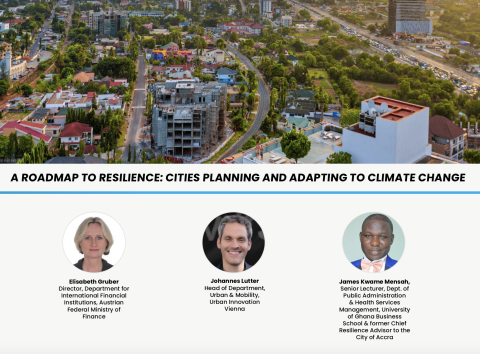
The ninth Cities on the Frontline session of 2022, jointly organized by Resilient Cities Network and the City Resilience Program, will focus on Cities Planning and Adapting to Climate Change Through the implementation of Resilience Road Maps and will allow city stakeholders to hear directly from officials that have participated in the process, understand the specific challenges their cities face, and see what steps they are taking to adapt. Register here and access previous sessions here.
This special session will highlight the benefits of nature-based solutions for climate resilience in cities. It will be an inclusive dialogue to urge an integrated approach to adaptation. The session will also explore the challenges countries face when translating their adaptation plans into action. Register here and learn more about the World Bank's participation at the World Urban Forum here.
CRP hosted a 5-day workshop for five cities in the Western Balkans to develop their understanding of urban infrastructure projects that integrate resilience. The workshop was hosted by the Municipality of Tirana and gathered 23 delegates from Albania, Bosnia and Herzegovina, Kosovo, and Serbia.
This session of the Making Cities Resilient 2030 (MCR2030) webinar provided in-depth information to help cities, local authorities, and their partners understand better what the City Resilience Program is and how to access its support.
CRP, in collaboration with the Resilient Cities Network, organized a webinar focused on the importance of “Aligning Stakeholder Priorities in Urban Resilience” with important lessons about the role of donor support for delivering resilient urban development, what value it adds, and how it could become even more effective.
CRP hosted a 3-day workshop for eight metropolitan municipalities in South Africa on resilient project preparation. The workshop explored the tools and know-how needed to design resilience informed capital projects, including how resilience through an asset can be addressed along with the basic economics of an investment.
CRP hosted a 4-day multi-country workshop dedicated to the Europe & Central Asia (ECA) region. The workshop gathered representatives of 14 cities from Albania, North Macedonia, Turkey and Uzbekistan and engaged them on the early stages of the project cycle. Participants developed an understanding of capital project priorities that integrate resilience into the delivery of strategic urban infrastructure.
CRP presented its work on geospatial planning and the use of satellite data in a webinar hosted by the Lahore University of Management Sciences. Leveraging satellite data and transforming it in compelling interactive maps helps CRP to communicate effectively with decision-makers on their urban resilience challenges and how to best address them.