Background
This page highlights a selection of the most important and useful analytical services, tools and practical guidance notes for Urban, DRM, and Land. These products support task teams in policy dialogue, project identification and preparation, and in the preparation of ASAs.
Analytical services, in this case, refer to diagnostics that the Global Urban, DRM, and Land teams can help regional teams implement through cross-support. In addition to URL developed tools, this page also includes a handful of important tools that have been developed by the IFC and/or external partners that are in current active use by URL teams.
The page is organized into three sections: DRM, Urban, and Land. These services and tools have been curated by the corresponding global teams. Please note that there is an overlapping of themes across the sections. For example, various services/tools related to climate analysis are present in all sections.
There are over 80 services and tools in the database that can be easily navigated through search and filter functions below.
Please find in this link useful additional resources that includes mainly guidance notes.
Contacts
The focal points are: Zoe Trohanis (DRM; ztrohanis@worldbank.org); Mark Roberts (mroberts1@worldbank.org) & Nancy Lozano Gracia (nlozano@worldbank.org) (Urban); and Mika-Petteri Torhonen (mtorhonen@worldbank.org) (Land).
Cities for Jobs & Growth Diagnostic

City CO2 Emissions Profile generator
City Demographic and Socioeconomic Scan
City Expansion Tracker

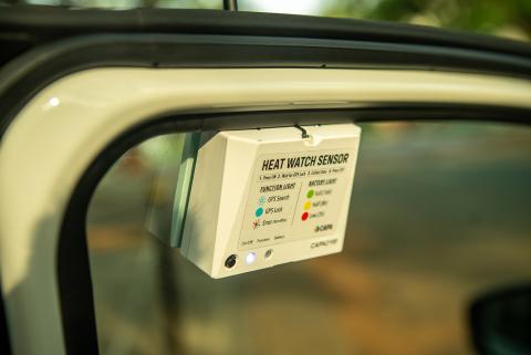
City Extreme Heat Scan

City Future Scan
City Neighborhood Scan
City Scan
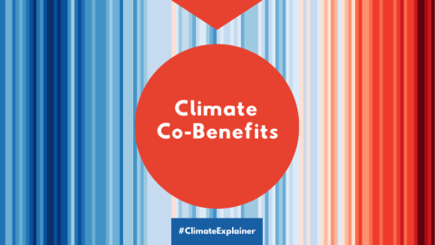
Climate Co-Benefits & Land Operations in Urban Contexts - Guidance Note (Annex 3: Climate Co-Benefits Handbook)

Climate Investment Opportunity Diagnostics
CollabData