Background
This page highlights a selection of the most important and useful analytical services, tools and practical guidance notes for Urban, DRM, and Land. These products support task teams in policy dialogue, project identification and preparation, and in the preparation of ASAs.
Analytical services, in this case, refer to diagnostics that the Global Urban, DRM, and Land teams can help regional teams implement through cross-support. In addition to URL developed tools, this page also includes a handful of important tools that have been developed by the IFC and/or external partners that are in current active use by URL teams.
The page is organized into three sections: DRM, Urban, and Land. These services and tools have been curated by the corresponding global teams. Please note that there is an overlapping of themes across the sections. For example, various services/tools related to climate analysis are present in all sections.
There are over 80 services and tools in the database that can be easily navigated through search and filter functions below.
Please find in this link useful additional resources that includes mainly guidance notes.
Contacts
The focal points are: Zoe Trohanis (DRM; ztrohanis@worldbank.org); Mark Roberts (mroberts1@worldbank.org) & Nancy Lozano Gracia (nlozano@worldbank.org) (Urban); and Mika-Petteri Torhonen (mtorhonen@worldbank.org) (Land).
Securing and Accessing Land for Climate Actions: A World Bank Guidance Note
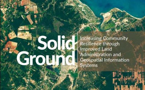
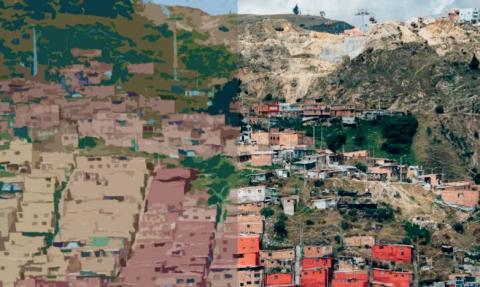
Solid Ground: Increasing Community Resilience Through Improved Land Administration and Geospatial Information Systems
Spatial Data Layers Viewer for risk communication

Spatial Network Analysis for School Infrastructure
SuitAbility Tool

The Use of Technologies to Enhance Own Source Revenue Mobilization: Applications to the Property Tax
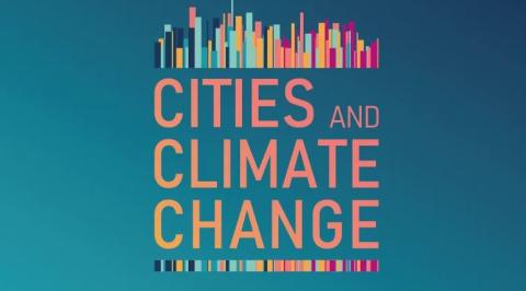
Thriving "Cities & Climate Change" Analysis

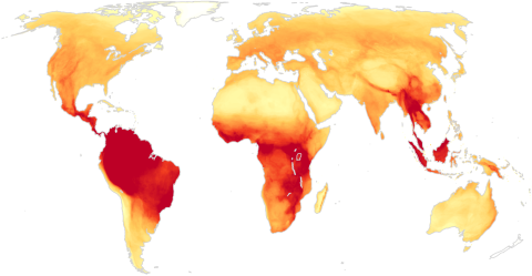
Urban Climate Risk Analysis
Urban Land & Housing Market Assessment: A Toolkit

Urban Performance Tool
Urban Regional Analysis